Featured Projects
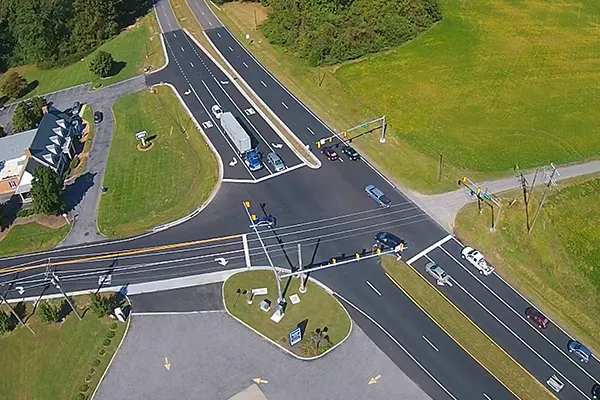
Highway Alignment Survey
50 km highway stretch surveyed using GPS & Total Station. Delivered accurate alignment, ROW demarcation & contour mapping.

Real Estate Plot Mapping
Cadastral survey & layout planning for 200+ residential plots. Delivered area statements, demarcation maps & CAD drawings.

Drone Topographic Mapping
Mapped large quarry site with UAV drones. Delivered orthophotos, contour maps & volumetric calculations.

Industrial Plant Survey
Executed precision grid marking & foundation levels for an industrial plant in Oman using high-accuracy Total Station.

Pipeline Route Survey
Route survey for 70 km oil pipeline including terrain profiling, GIS mapping & centerline demarcation.

Railway Corridor Survey
Surveyed railway corridor including alignment, embankment design & geotechnical profile mapping.