Featured Projects
Explore our successfully executed surveys across infrastructure, real estate, and industrial sectors.
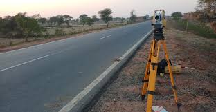
Highway Alignment Survey
Executed topographic and alignment survey for a 60 km highway project using DGPS and Total Station, ensuring 5 cm accuracy.
Infrastructure
Urban Building Layout
Plotted multi-storey residential building layouts with benchmark controls, ensuring zero deviation during construction.
Real Estate
UAV Drone Mapping
Captured aerial imagery and generated high-resolution orthomosaics and contours for 500 hectares of farmland.
Drone Survey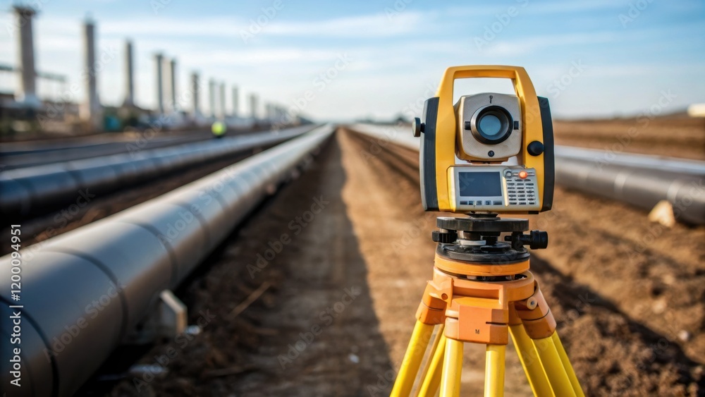
Pipeline Route Survey
Conducted corridor mapping with GNSS and GIS integration for a 200 km underground pipeline project.
Utilities
Industrial Plant Survey
Delivered as-built survey and structural monitoring for a steel manufacturing plant, ensuring compliance with safety codes.
Industrial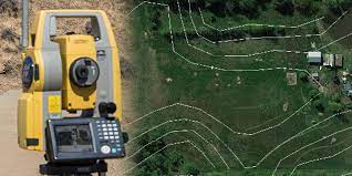
Hydrology & Contour Survey
Generated detailed contour maps and water flow analysis for reservoir and irrigation projects.
Water Resources