Projects
50km alignment with 0.5m contours
Industrial estate utilities & as-builts
Orthomosaic & stockpile volumes
Topographic, boundary, route alignment, drone photogrammetry, and construction staking — delivered with accuracy, speed, and beautiful geospatial deliverables.
Sub-5cm GSD imagery with dense point clouds for precise terrain models and volume calculations.
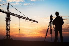
From feasibility to as-built — our teams bring total-station precision and drone-scale speed.
Title deed correlation, encroachment check, and setting out for plots & townships.
High-density elevation capture for roadway design, drainage, and earthworks.
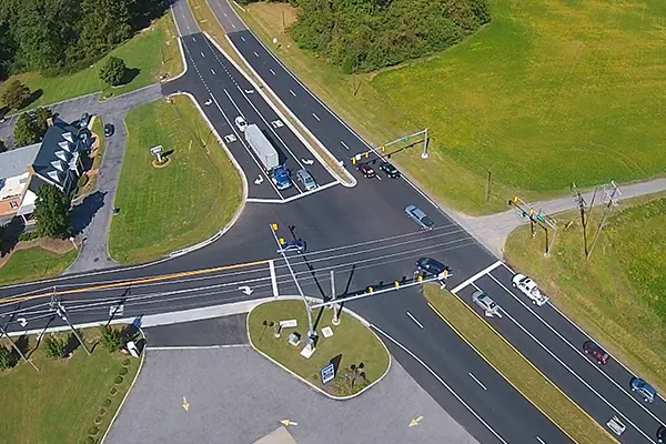
Centerlines, offsets, and utilities set-out with as-built verification reports.
Rapid capture for large tracts, mines & stockpiles, and solar farms.
Mutation, subdivision, FMB correlation, and conversion drawings.
Long-term precision monitoring for bridges, towers, and slopes.
Transparent milestones, clear deliverables.
Project kickoff, datum selection, and RTK base/NTRIP setup with benchmarks.
Total station, GNSS rovers, and UAV flights following best-practice checklists.
QA in field-to-finish coding; photogrammetry/LiDAR processing; least-squares adjustments.
AutoCAD/GIS drafting, contouring, volume calculations, and hydrology checks.
Orthomosaics, CAD, shapefiles, PDFs, and interactive web maps — on time.
Upload site details and we'll revert with scope, timeline, and pricing.
We work across India. Site mobilization in 24–72 hours.